What Environment Canada's yellow warnings, the 40-to-100 mm forecast totals and a "super" El Niño pattern mean for the South Coast this fall.
A B.C. rainfall warning covering much of the province’s coastline was in effect on Monday, Sept. 28, 2026, as a storm system tracking southeast moved toward the South Coast with heavy downpours and strong winds expected overnight and through Tuesday. Environment Canada placed the Lower Mainland, Central Coast, North Coast, Howe Sound and West Vancouver Island under yellow rainfall warnings, with totals of 40 to 100 millimetres forecast through Tuesday afternoon.
The system marked the region’s first significant soaking of the season, arriving just as Metro Vancouver’s regional district said crews were stepping up monitoring of sewer and drainage infrastructure for the fall. Forecasters described the storm as potent but not severe enough to threaten rivers, framing the risk as localized street-level pooling rather than widespread flooding.
Which Coastal Regions Fell Under the B.C. Rainfall Warning
Environment Canada’s yellow rainfall warnings reached well beyond the Vancouver area. The alert area covered five distinct zones along the coast, each with its own exposure to onshore flow and terrain-driven rainfall.
- Lower Mainland: Forecast totals of 50 to 70 millimetres, with the higher end expected over elevated terrain.
- Central Coast: Identified by forecasters as the zone in line for the heaviest accumulation within the 40-to-100 millimetre range.
- North Coast: Included in the warning area as the system tracked southeast along the shoreline.
- Howe Sound: A corridor where steep topography routinely amplifies rainfall totals.
- West Vancouver Island: The first landfall point for Pacific systems moving onto the B.C. coast.
The North Coast stretch under warning is the same industrial corridor where LNG Canada’s Phase 2 expansion at Kitimat is moving ahead, a reminder that B.C.’s autumn storm track crosses some of the province’s most weather-exposed infrastructure.
Why Burnaby Mountain and the North Shore Were Set for the Most Rain
Environment Canada meteorologist Jennifer Kowal called the system “quite a potent” one, and pointed to elevation as the deciding factor in where the heaviest Lower Mainland totals would land. She said 50 to 70 millimetres was expected across the region, with the top of that range most likely over higher ground.
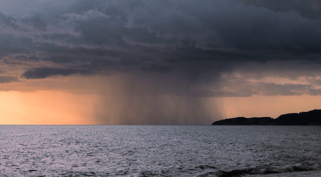
Kowal specifically named Simon Fraser University’s Burnaby Mountain campus and the North Shore mountains as locations likely to approach 70 millimetres. That pattern — valley floors getting a soaking while slopes get noticeably more — is a standard feature of Pacific frontal systems meeting coastal terrain, and it is why municipal drainage planning in the region tends to focus on hillside runoff.
No Flood Warnings Issued, But Drainage Was the Concern
As of Monday afternoon, no flood warnings or flood watches had been issued anywhere in the warning area. Kowal drew a clear line between the kind of event unfolding and a river-flooding scenario.
“It’s not such a potent system that we’re expecting river flooding — it would really be localized, to do with drainage,” she said. In practical terms, that shifts the risk from riverbanks to storm drains, underpasses and low-lying intersections, where short bursts of intense rain overwhelm capacity faster than steady rainfall does.
Environment Canada’s public alert carried the standard guidance for that risk profile, noting water “will likely pool on roads and in low-lying areas,” with local utility outages possible. The agency advised drivers not to cross flooded roadways and to allow extra travel time.
Metro Vancouver Crews Watching Sewer Systems as Fall Sets In
The regional district confirmed it was treating the storm as the opening of its wet-season monitoring cycle. In a statement, Metro Vancouver’s Greg Valou said the district would closely monitor sewer systems as fall weather arrived.
“Crews are prepared to respond as needed to help ensure critical infrastructure continues to operate reliably throughout the season,” he said. The comment reflects how utilities in high-rainfall regions typically operate: readiness postures shift in late September, with staffing and response assets positioned ahead of individual storms rather than in reaction to them.
That seasonal pressure sits alongside longer-term demand on urban systems. Metro Vancouver remains one of the country’s fastest-growing regions, even as national population growth has slowed according to recent Statistics Canada findings — a dynamic that shapes how much stormwater capacity cities plan for over the coming decades.
What a Yellow Warning Means Under the Colour-Coded Alert System
The warnings attached to this storm were yellow-level, the lowest tier in Environment Canada’s colour-coded presentation. A yellow designation signals that impacts are likely to be moderate, localized and/or short-term — not that conditions are harmless, but that the expected disruption is contained rather than regional.
For readers, the practical value of the colour system is triage. A yellow rainfall warning is a cue to adjust a commute, avoid flooded underpasses and secure outdoor drains; it is not a cue to expect evacuation-level conditions. Higher tiers are reserved for events with broader and more severe consequences.
This storm’s profile matched the yellow definition closely: significant rainfall totals, a defined end point, and a risk concentrated in drainage rather than in rivers or dikes.
Sunny Truth and Reconciliation Day, Then a Smaller System Thursday
Environment Canada said the rain would persist into Tuesday before tapering off by the afternoon. The forecast then turned favourable for the midweek statutory holiday.
Wednesday’s National Day for Truth and Reconciliation, a statutory holiday in British Columbia, was expected to be sunny. A second, weaker system was forecast to arrive Thursday, but Kowal downplayed its reach.
“It’s not going to be anything like what this one is. It’s probably just going to generate a couple of showers around the South Coast,” she said. She characterized the broader shift as routine for the calendar: “We’re turning more into a fall pattern, where we can expect to see more showery weather, but there’s nothing high-impact that’s on the immediate dashboard for us.”
A “Super” El Niño and a Warmer-Than-Usual Winter Ahead
Beyond the immediate forecast, Kowal pointed to a “super” El Niño pattern underway in the equatorial Pacific Ocean, which she said would push temperatures in B.C. above normal in the months ahead.
“In the winter, when the El Niño really kicks in, we’ll see it be even warmer than seasonal, or what’s considered to be standard,” she said. On rainfall and snowfall volumes, however, she was explicit that the signal is not clear: “As far as precipitation above or below normal, we don’t actually have a very clear signal one way or the other.”
That distinction matters. A warm-signal winter does not automatically mean a dry one — it changes the odds on how precipitation falls, particularly the rain-versus-snow line at mid elevations, more than it predicts how much falls.
What El Niño Historically Means for B.C. Ski Seasons
Asked about the implications for the province’s mountain resorts, Kowal said El Niño events have not historically worked in skiers’ favour, while cautioning against writing off the season.
“Things could always change, it only takes a couple of weeks of good snow and it only takes a couple good storms to get a good base on the mountains — but historically, it doesn’t really mean a great winter for snow,” she said.
For B.C.’s tourism and recreation operators, that framing is a planning input rather than a verdict: seasonal outlooks shift probabilities, and a handful of well-timed storms can still build a workable base. Readers should treat long-range seasonal guidance as directional, not as a firm prediction of conditions on any given date.
The Numbers From This Storm at a Glance
| Alert type | Yellow rainfall warning (Environment Canada) |
| Areas covered | Lower Mainland, Central Coast, North Coast, Howe Sound, West Vancouver Island |
| Forecast totals | 40 to 100 mm through Tuesday afternoon |
| Lower Mainland totals | 50 to 70 mm, higher end over elevated terrain |
| Heaviest zone | Central Coast |
| Flood warnings or watches | None issued as of Monday afternoon |
| Main risk identified | Localized drainage-related pooling, possible local utility outages |
| Expected end | Tapering off Tuesday afternoon |
Frequently Asked Questions
Were any flood warnings issued for Metro Vancouver during this storm?
No. As of Monday afternoon, Environment Canada had issued no flood warnings or flood watches for the affected regions.
How much rain was forecast for the Lower Mainland specifically?
Between 50 and 70 millimetres, with the upper end expected over higher terrain such as Burnaby Mountain and the North Shore mountains.
What does a yellow rainfall warning actually signal?
Yellow indicates that impacts are likely to be moderate, localized and/or short-term — enough to disrupt travel and drainage, but not an event expected to carry broad severe consequences.
Will the El Niño pattern mean less rain this winter in B.C.?
Not necessarily. Environment Canada said temperatures are expected to run warmer than seasonal, but there is no clear signal on whether precipitation will be above or below normal.
What was the forecast for the National Day for Truth and Reconciliation holiday?
Wednesday was expected to be sunny, with a smaller system bringing a few South Coast showers on Thursday.

The Brand Magazine Newsroom covers Canadian business, markets and policy news for brand builders and entrepreneurs. Newsroom reports are produced from published public sources such as company releases and government and regulator publications, and follow our Editorial Standards.