A month-by-act breakdown of where the warmth goes, which regions finally feel frost, and what the forecast means for harvest, travel and storm watching.
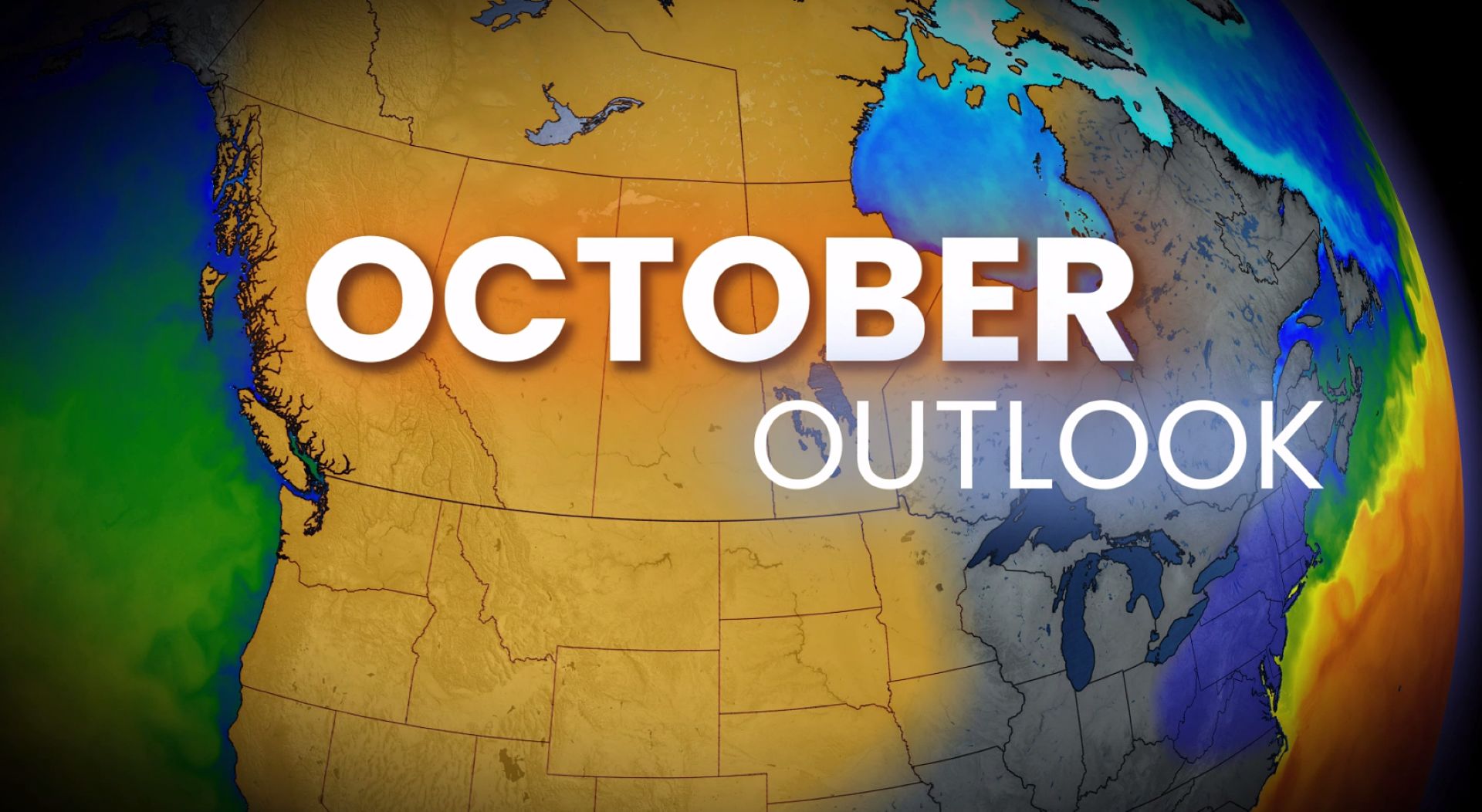
The Canada October weather outlook released at the start of the month points to a lopsided transition: the East is finally ready to accept fall, while the West spends much of October pushing back against it. Forecasters describe the month as a national temperature flip, with above-seasonal warmth shifting toward British Columbia, the Prairies and the North as sharper cold fronts and frost take hold from Ontario eastward.
The assessment was published on October 1, 2026, and covers the full four-week stretch to Halloween. It frames October as the country’s most volatile month on the calendar — a period that can open with lingering summer warmth and close with hard freezes and snow.
Why the Canada October Weather Outlook Calls This a “Great Flip”
September allowed much of the country to hold on to summer-like conditions. The outlook argues that October brings a very different flavour, and that the change is driven less by a uniform cooldown than by a redistribution of where the warmth sits.
During the first few days of the month, the atmosphere reconfigures and largely reverses the national temperature pattern. Warmth does not leave Canada — it relocates westward. That single structural change explains most of the regional storylines that follow, from an open harvest window on the Prairies to the first frost advisories pushing south in Central Canada.
The outlook also stresses the baseline: normal daytime highs fall dramatically between October 1 and October 31 across most of the country. Even a month that leans warm relative to seasonal values still ends far colder than it begins.

Ontario and Quebec’s Last Widespread Taste of Mid-20s Warmth
Temperatures on October 1 across Ontario and Quebec were described as leftovers of the September pattern rather than a preview of the month ahead. For many communities in the two provinces, that opening stretch may represent the final widespread run of mid-20s warmth until spring.
After that, the forecast turns toward a more classic fall rhythm. Cold fronts become sharper, chillier air becomes easier to tap, and the day-to-day swing between mild and cool grows more pronounced.
Frost, Freeze and the First Snowflake Sightings in Central Canada
The eastern half of the country carries the clearest seasonal signal in the outlook. Four elements stand out:
- Sharper cold fronts: Frontal boundaries become better defined, making colder air masses more accessible.
- Frost and freeze surging south: Sub-zero mornings expand into regions that escaped them in September.
- Returning moisture: Passing fall-like systems reintroduce rainfall after a dry-feeling stretch.
- First flakes: Initial snowflake sightings become possible in Ontario and Quebec, in line with the long-standing pattern that October snow can and does fall somewhere in Canada most years.
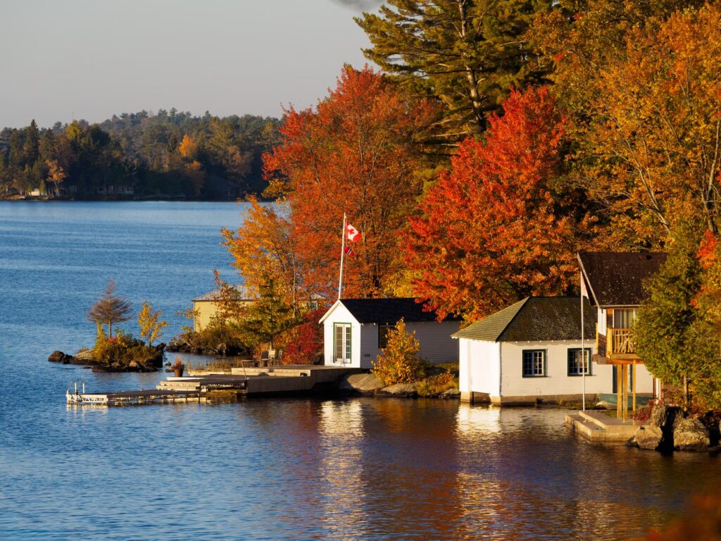
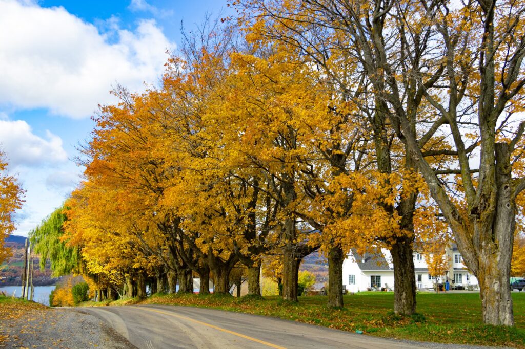
There is an upside for travel and tourism. The same pattern that delivers crisp mornings is described as excellent for leaf peeping and fall foliage trips — a meaningful window for regional tourism operators in Ontario, Quebec and the Maritimes who depend on a few high-traffic autumn weekends.
Above-Seasonal Warmth Across the West and North
While the East cools, the West and North lean the other way. The outlook flags temperatures significantly above seasonal across many areas, paired with a quieter overall pattern.
Northern Canada also leans above seasonal, though the outlook adds an important qualifier: climate normals in the North are low enough that sub-zero temperatures become increasingly common regardless of how the anomaly reads. A warmer-than-normal October in the territories is still a cold October in absolute terms.
The Prairie Harvest Window Stays Open After a Delayed Season
For Prairie producers, the forecast carries the most immediate operational value. The fall harvest has been significantly delayed this year, and the outlook indicates favourable weather should remain available over the opening couple of weeks of October to help finish the job.
That matters well beyond the farm gate. A compressed or weather-disrupted harvest can ripple through grain movement, rail logistics, crop insurance claims and input costs — the kind of supply-side pressure that eventually shows up in the broader price data markets watch. Readers tracking that angle can compare it against the Bank of Canada’s recent warning on inflation running at three per cent, where commodity-driven costs were already in focus.

B.C.’s Storm Season Hits the Snooze Button
British Columbia’s wet season showed signs of life in late September, but the outlook describes October as a pause rather than an acceleration. The Pacific storm track takes a breather, and the rainy season may struggle to lock in consistently through the month.
Forecasters are careful to call the pause relative, not absolute — individual systems are still possible. The point is that a durable, repeating storm pattern of the kind that defines a true B.C. fall does not appear to establish itself early. That follows a late-September stretch that already produced significant coastal impacts, including the rainfall warning that brought up to 100 mm to coastal regions.
A slower start has practical implications for reservoir levels, wildfire season closure dates and drought recovery on the South Coast and Vancouver Island, though the outlook does not quantify those effects.
Variability Becomes the Defining Feature of Late October
The outlook deliberately avoids day-level detail for the back half of the month, noting that sharp fluctuations cannot be pinpointed this far in advance. What it does commit to is the character of the period: fall’s usual tug-of-war continues, with warmer days still showing up — but increasingly as interruptions rather than the baseline.
That framing is a useful reminder for anyone planning outdoor work, construction schedules or events in the final two weeks of October. The expectation is swing, not stability.
Atlantic Canada and a Hurricane Season That Isn’t Finished
The Atlantic hurricane season is winding down, but the outlook warns that multiple tropical storms remain possible through October, with forecasters watching for potential impacts to Atlantic Canada whether or not a system is formally named.
The accompanying caution is arguably the most important line in the entire forecast: the most consequential storms of this fall so far have not been tropical. Two events are cited as evidence — the Labour Day weekend storm across the Maritimes, and the powerful late-September nor’easter that caused widespread disruption in the U.S. Northeast.
The takeaway for emergency planners and property owners in Atlantic Canada is that a landfalling hurricane is not a prerequisite for a damaging autumn storm. Mid-latitude systems can deliver comparable wind, rain and surge impacts with far less lead-time attention.

October Outlook at a Glance
| Region | October signal |
| Ontario and Quebec | Brief opening warmth, then classic fall: sharper fronts, frost and freeze, returning moisture, first possible snowflakes |
| Southern B.C. | Pacific storm pattern pauses; wet season may struggle to lock in consistently |
| Prairies | Above-seasonal warmth; favourable harvest weather expected in the opening weeks |
| Northern Canada | Leans above seasonal, with sub-zero temperatures still increasingly common |
| Atlantic Canada | Hurricane season winding down, but multiple tropical storms still possible |
A Winter Sneak Peek Lands October 7
The next scheduled milestone for Canadians watching the seasonal transition is a Winter Sneak Peek forecast due on October 7, which is expected to address how long fall can hold winter at bay. Until then, the October outlook is the operative national guidance.
Seasonal outlooks describe pattern tendencies over weeks, not specific conditions on a specific day. Readers making weather-sensitive decisions — harvest timing, travel, coastal preparation — should continue to check current local forecasts and official warnings rather than relying on a monthly outlook alone.
Frequently Asked Questions
Does the outlook mean it will snow in Ontario and Quebec this month?
It says first snowflake sightings become possible in the two provinces as the pattern turns more classically fall-like. No specific accumulation, location or date is forecast.
Is the West going to stay warm all month?
The outlook flags significantly above-seasonal temperatures in many western areas and a quieter pattern, but it also states that variability will define the second half of October nationally.
How much time do Prairie farmers have to finish the harvest?
Favourable conditions are expected to remain over the next couple of weeks from the October 1 publication date. The outlook does not give a firm cut-off.
Does a quiet start mean B.C. avoids its storm season entirely?
No. The pause is described as relative, meaning activity is still possible — the forecast simply doubts a consistent, locked-in wet pattern through October.
Should Atlantic Canada stop watching the tropics?
Not yet. Multiple tropical storms remain possible, and forecasters note that this fall’s most damaging systems in the region have so far been non-tropical storms.

The Brand Magazine Newsroom covers Canadian business, markets and policy news for brand builders and entrepreneurs. Newsroom reports are produced from published public sources such as company releases and government and regulator publications, and follow our Editorial Standards.