


A look inside the national assessment that ties extreme heat, longer wildfire seasons, shrinking snow and ice, and warming, more acidic oceans to human-caused emissions.
Canada’s Changing Climate Report 2026 — described as the country’s most comprehensive assessment of how climate change is affecting communities, ecosystems and coastlines — concludes that human-caused greenhouse gas emissions are driving widespread and interconnected change across the country. The assessment, which drew contributions from more than two dozen University of Victoria researchers, was in the spotlight in early September 2026 as its findings on heat, fire, ice and ocean chemistry began circulating beyond the research community.
The report’s central message is not a single alarming statistic but a pattern: the changes are linked. Warmer air, drier fuel, thinner snowpack, hotter seas and higher water levels are treated as parts of one system rather than separate problems, which is the framing that makes the document useful to planners, insurers, farmers, fishers and municipal decision-makers as much as to scientists.
What Canada’s Changing Climate Report Concludes About Human Emissions
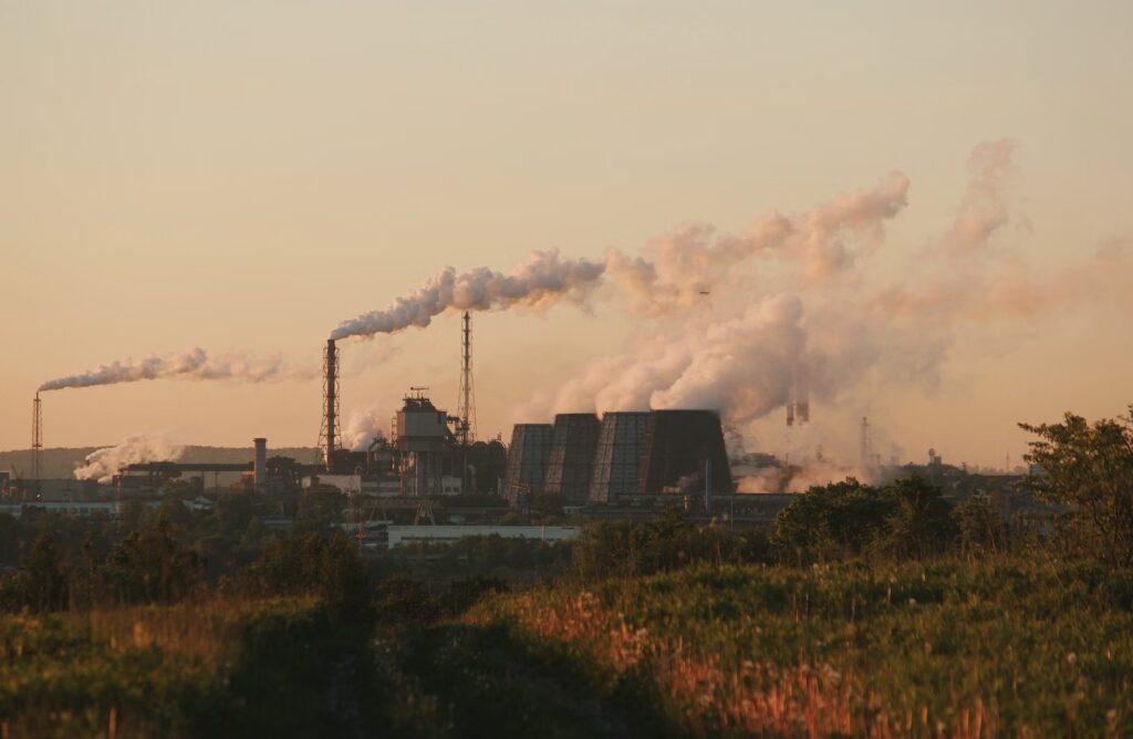
The assessment attributes the observed shifts to greenhouse gas emissions from human activity. That attribution is the load-bearing element of the report: once the cause is established, the cascade of documented effects — extreme heat, longer wildfire seasons, shrinking snow and ice, warming oceans and rising sea levels — can be read as consequences of the same driver rather than as unrelated regional misfortunes.
Framing the findings as “widespread and interconnected” also matters for how they are used. A community facing a longer fire season is often the same community facing earlier spring melt, reduced late-summer water supply and heat that stresses power systems and vulnerable residents at the same time. The report presents those pressures as arriving together.

The Five Systems the Assessment Puts Front and Centre
The findings highlighted in the assessment span the atmosphere, the land and the sea. Presented plainly, they cover the following:
| System examined | What the assessment reports |
|---|---|
| Extreme heat | Identified among the widespread changes now affecting Canadian communities |
| Wildfire | Fire seasons are becoming longer |
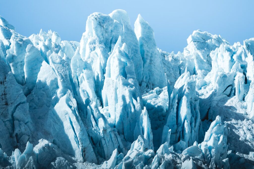
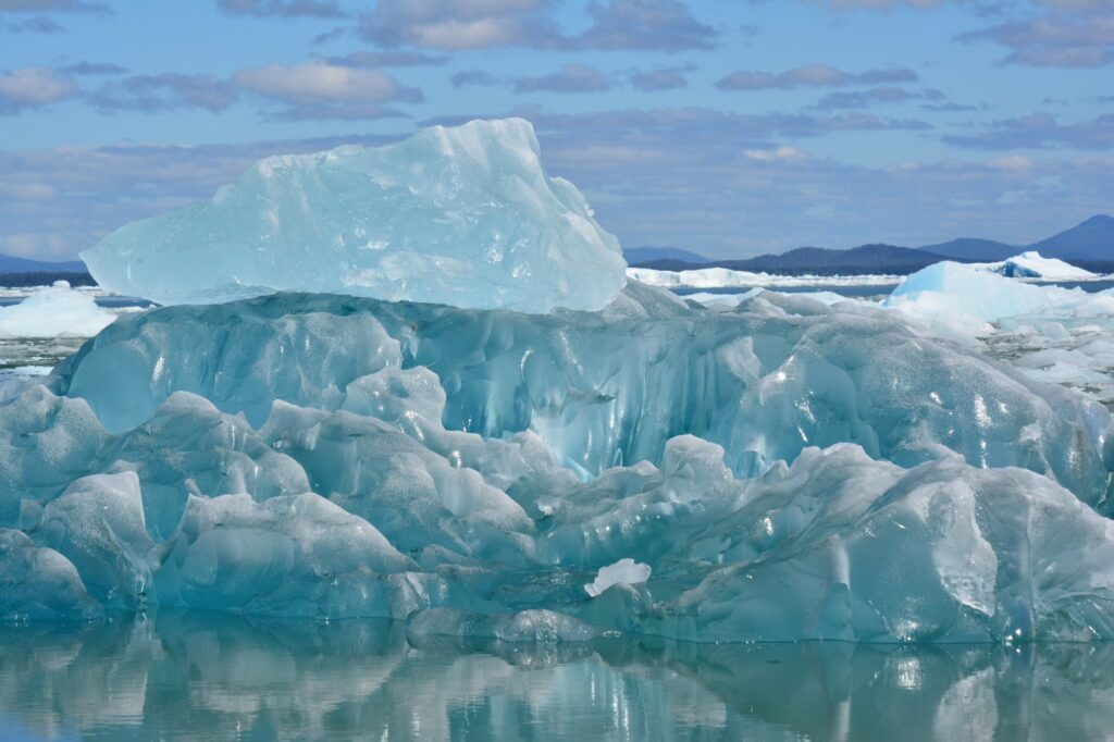
| Snow and ice | Snow and ice cover is shrinking |
| Oceans | Canada’s oceans have warmed and become more acidic because of excess carbon dioxide; marine heat waves are more frequent and more intense |
| Sea level | Sea levels are rising, with implications for coastlines |
Specific magnitudes, regional breakdowns and projection ranges beyond these findings are not specified in the material available for this report.
Why More Than Two Dozen University of Victoria Researchers Were Involved
The scale of the contribution from a single institution — more than two dozen researchers from the University of Victoria — is itself a notable detail. National assessments of this kind are not written by one author or one lab; they synthesise work across atmospheric science, oceanography, glaciology, hydrology and impact analysis, which requires deep bench strength in several disciplines at once.
For readers, that structure is a credibility signal. A synthesis report with many contributing specialists is designed to reflect the weight of existing evidence rather than a single new experiment, and it is typically reviewed by other researchers before its conclusions are published.
Warmer, More Acidic Oceans and Intensifying Marine Heat Waves
The ocean findings are among the most consequential for a country bordered by three oceans. The assessment reports that Canada’s oceans have warmed and grown more acidic, a shift it links to excess carbon dioxide, and that marine heat waves are occurring more often and with greater intensity.
Ocean acidification is worth explaining, because it is less intuitive than heat. As seawater absorbs additional carbon dioxide from the atmosphere, its chemistry shifts, which is generally understood in marine science to make it harder for shell-forming organisms to build and maintain their shells. Marine heat waves — prolonged periods of unusually warm water — are similarly consequential because they can disrupt habitat and food webs over large areas rather than at a single point. Both are presented in the assessment as observed changes, not hypotheticals.
Coastlines, Communities and Ecosystems as the Report’s Three Lenses
The assessment is explicitly organised around impacts on communities, ecosystems and coastlines — a choice that pulls climate science out of the abstract. Rising sea levels are not only a measurement; they are a factor in where roads, ports, housing and protective infrastructure can safely sit. Shrinking snow and ice are not only a hydrological curiosity; snowpack acts as natural water storage for much of the year in mountain and northern regions.
That impact-first framing also makes the document more usable for adaptation planning. When a report describes heat, fire and water stress as interconnected, the practical response tends to shift from single-hazard fixes toward planning that accounts for several hazards landing in the same season.
How the Findings Sit Alongside Seasonal Forecasting
Long-term assessment and short-term forecasting answer different questions, and conflating them is a common source of confusion. A seasonal outlook — of the kind behind the El Niño fall forecast pointing to a mild autumn and a late Canadian winter — describes what the coming months may look like under current conditions. A national climate assessment describes the direction the baseline itself is moving over decades.
Both can be true simultaneously. A single mild autumn or a cold snap does not contradict a long-term warming trend, just as one unusually quiet fire season does not reverse a documented lengthening of fire seasons overall. Readers following climate coverage will get more out of it by keeping the two timescales separate.
General Context: Why National Climate Assessments Are Produced
The following is general background rather than a finding of this report. Assessments of this type are produced periodically to consolidate what is known about observed change and expected change in one place, so that governments, industries and communities are working from a shared evidence base rather than from scattered individual studies.
In practical terms, synthesised climate evidence tends to feed into infrastructure design standards, emergency preparedness, water and land management, insurance and risk modelling, and public health planning for heat events. None of those applications are specified in the source material for this particular assessment, but they explain why a report of this scope draws attention well beyond academia.
What Canadians Can Actually Do With This Report
The most useful takeaway is the interconnection, not any one headline. A few points worth holding onto:
- Read the hazards together: heat, fire, water supply and coastal risk are described as linked outcomes of the same driver, so they are best planned for together.
- Watch the ocean signals: warming, acidification and marine heat waves affect fisheries, coastal economies and marine ecosystems, not just water temperature readings.
- Distinguish trend from weather: a single season, warm or cold, is not evidence for or against the long-term direction the assessment describes.
- Treat the report as a baseline: its value lies in giving decision-makers a common reference point for adaptation and risk planning.
Further details on release logistics, the full contributor list and the scope of regional chapters were not specified in the information available at the time of writing.
Frequently Asked Questions
What is Canada’s Changing Climate Report 2026?
It is described as Canada’s most comprehensive assessment of climate change impacts on communities, ecosystems and coastlines, with contributions from more than two dozen University of Victoria researchers.
What does the report identify as the cause of the changes?
It concludes that human-caused greenhouse gas emissions are driving widespread, interconnected changes across the country.
What does it say about Canada’s oceans?
The assessment finds Canada’s oceans have warmed and become more acidic due to excess carbon dioxide, and that marine heat waves are becoming more frequent and more intense.
Does the report give exact figures for warming or sea level rise?
Specific numerical values, regional breakdowns and projection ranges are not specified in the information available for this article.