
A clear look at the hazards now shaping Canadian life, why they are intensifying, and what communities, insurers and businesses are doing to adapt.
Extreme weather in Canada is no longer a story about the occasional freak storm. Wildfire smoke, heat waves, floods and powerful coastal storms have hit regions from British Columbia to Atlantic Canada in recent years. For households, municipalities and businesses, the question has moved from whether these events will happen to how often, and how much they will cost.
This explainer sets out the hazards behind the headlines, why scientists say the risk is rising, who is carrying the financial burden, and what preparation looks like in practice. It is written for readers who want the bigger picture as each new emergency unfolds.
Extreme Weather in Canada Has Become a Recurring Pattern
For much of the last century, Canadians treated major weather disasters as rare shocks. Most people could name one or two in a lifetime. That has changed. Several record-setting events have now landed within a few years of each other, and some have landed in the same communities.
Recent examples, offered here as general background, include:
- Fort McMurray, 2016: A wildfire forced the evacuation of the entire Alberta city and became one of the costliest disasters in Canadian history.
- British Columbia, 2021: A heat dome shattered temperature records. Later that year, atmospheric rivers brought flooding that cut key road and rail links to the Port of Vancouver.
- Atlantic Canada, 2022: Post-tropical storm Fiona caused widespread damage across the region.
- National, 2023: Canada recorded its most severe wildfire season on record, with smoke reaching major cities at home and in the United States.
- Jasper, 2024: Wildfire destroyed a significant part of the Alberta mountain town.
What links these events is overlap. Fire, heat, drought and flood now strain the same emergency services, insurers and supply chains, sometimes within one season.
Wildfire Smoke, Heat Domes and Atmospheric Rivers: The Hazards Behind the Headlines
Each hazard affects Canadians differently, and exposure varies widely by region. The table below gives a general overview, not a forecast for any particular year.
| Hazard | Regions commonly exposed | Typical timing | Main effects |
|---|---|---|---|
| Wildfire and smoke | Western provinces, the boreal forest, the North, parts of Quebec | Spring to early fall | Evacuations, air quality alerts, lost forestry and tourism revenue |
| Extreme heat | Interior and coastal B.C., the Prairies, southern Ontario and Quebec | Summer | Health emergencies, especially for older adults and people living alone |
| Atmospheric rivers and flooding | B.C. coast and interior, river valleys nationwide | Fall and winter rains, spring melt | Washed-out highways, farmland damage, basement flooding |
| Hurricanes and post-tropical storms | Atlantic provinces, eastern Quebec | Late summer and fall | Power outages, coastal erosion, damage to fisheries infrastructure |
| Drought | The Prairies and interior B.C. | Multi-season | Crop losses, water restrictions, higher wildfire risk |
Smoke shows how far an event can travel. A fire burning hundreds of kilometres away can trigger air quality warnings in cities that face no direct threat. Exposure is no longer limited to people living near the forest.
Why Canada’s Faster Warming Raises the Stakes
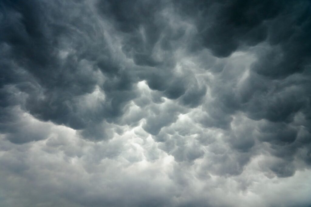
Federal science assessments have found that Canada is warming at roughly twice the global average rate, with the North warming faster still. Higher temperatures dry out forests sooner in the season and lengthen the window in which fires can start and spread.
Warmer air also holds more moisture, which can make heavy rainfall more intense when storms do arrive. That helps explain why one province can face drought and flooding in the same year. Shrinking sea ice and thawing permafrost add pressure on Arctic and coastal communities, where roads, buildings and shorelines were designed for colder, more stable conditions.
What Attribution Science Can and Cannot Say
After every major event, people ask whether climate change caused it. Attribution science is a growing field that tries to answer that question. Researchers compare the odds and intensity of an event in today’s climate with a modelled world without human-driven warming.
These studies rarely say that a single storm or fire was caused by climate change alone. They more often conclude that warming made an event more likely or more severe, and by roughly how much. For policymakers and insurers, that probability shift is the useful number, because it shapes how infrastructure is designed and how risk is priced.
Insurers, Supply Chains and Small Businesses Are Paying the Bill
The financial effects reach well beyond the communities in the path of a fire or flood. Insured losses from severe weather in Canada have risen sharply over the past decade, according to the insurance industry, and uninsured losses add to that total.
- Insurance premiums and coverage: Homeowners in high-risk areas, especially flood-prone zones, may face higher premiums or limited coverage options.
- Supply chains: When rail lines or highways are cut, goods back up at ports and shortages can spread across provinces.
- Small businesses: Evacuations and smoke days can wipe out a season’s revenue for tourism, hospitality and outdoor operators.
- Public budgets: Disaster relief, rebuilding and emergency staffing put recurring pressure on municipal, provincial and federal finances.
For business owners, weather risk is becoming part of everyday planning, alongside interest rates and labour costs. Lenders, investors and insurers are increasingly asking how a company would keep operating through a major disruption.
Canada’s Adaptation Plans Move From Paper to Practice
Canada published a National Adaptation Strategy in 2023, setting out goals for disaster resilience, health, infrastructure and the economy. Provinces and many cities run their own climate risk and adaptation plans. In practice, adaptation tends to show up in less visible decisions.
- Updated flood mapping: Better maps guide where homes and businesses can be built.
- Stronger building standards: Codes are being revised to handle heavier rain, higher winds and hotter summers.
- Cooling centres and heat alerts: These are designed to reach vulnerable residents before temperatures peak.
- FireSmart programs: These help communities manage vegetation and create buffers around homes.
- Infrastructure redesign: Culverts, bridges and power lines are being rebuilt to higher thresholds after failures.
The ongoing debate is about pace and funding. Rebuilding to a higher standard costs more up front. Rebuilding to the old standard can mean paying again after the next event.
Preparing Households and Businesses for the Next Emergency
Officials consistently stress that preparation reduces both harm and cost. The steps below reflect widely shared emergency guidance. Readers should follow instructions from their local and provincial authorities during any active event.
- Know your local alerts: Sign up for municipal or provincial emergency notifications and keep a battery-powered radio.
- Build a 72-hour kit: Include water, food, medication, chargers, copies of key documents and supplies for pets.
- Plan for smoke and heat: Identify a cooler, cleaner-air room at home and check on neighbours who live alone.
- Review your insurance: Confirm whether flood, sewer backup and business interruption are covered before you need them.
- Map business continuity: Business owners should identify backup suppliers, remote-work options and how to reach staff during an evacuation.
Frequently Asked Questions
Is extreme weather in Canada actually getting worse?
Federal climate assessments and insurance data both point to more frequent and costly events, driven largely by Canada’s faster-than-average warming.
Can a single wildfire or flood be blamed on climate change?
Attribution studies usually find that warming made an event more likely or more intense, rather than being its only cause.
Which parts of Canada face the most risk?
It depends on the hazard. The West faces more wildfire and atmospheric river risk, Atlantic Canada faces more hurricane risk, and the North faces permafrost and coastal change.
Does home insurance cover flood damage?
Not always. Overland flood and sewer backup are often separate options, so homeowners should check their policy wording with their insurer.

The Brand Magazine Newsroom covers Canadian business, markets and policy news for brand builders and entrepreneurs. Newsroom reports are produced from published public sources such as company releases and government and regulator publications, and follow our Editorial Standards.